| This article needs additional citations for verification. Please help improve this article by adding citations to reliable sources. Unsourced material may be challenged and removed. Find sources: "Torba, Bodrum" – news · newspapers · books · scholar · JSTOR (September 2023) (Learn how and when to remove this message) |
| Torba | |
|---|---|
| Neighbourhood | |
 | |
  | |
| Coordinates: 37°04′28″N 27°27′33″E / 37.07444°N 27.45917°E / 37.07444; 27.45917 | |
| Country | Turkey |
| Province | Muğla |
| District | Bodrum |
| Population | 2,671 |
| Time zone | UTC+3 (TRT) |
Torba is a neighbourhood of the municipality and district of Bodrum, Muğla Province, Turkey. Its population is 2,671 (2022).
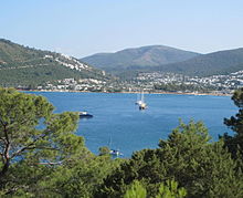
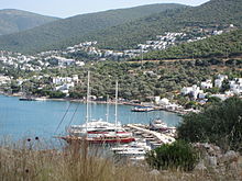
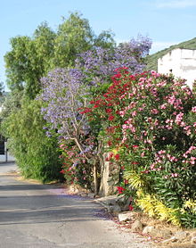
Torba is a sea-side village located approximately 6 km (3.7 mi) northeast of the resort town, Bodrum. The hillsides are clad in olive groves and pine forests. The shoreline is dotted with cafes and open-air restaurants, specializing in catch-of-the-day seafood, lamb kebabs and traditional mezes (Turkish tapas). Despite some recent upmarket developments, the village has retained a relaxed, rural ambience. Because of its close proximity to Bodrum town, Torba is popular with day-trippers who come for a swim, a stroll along the idyllic shoreline or a candle-lit dinner on the beach. Hotels and all-inclusive resorts are there as well.


Some of the fish in Torba Bay include sea bass and gilt-head bream. Other marine life include sea turtles, dolphins or the rare Mediterranean monk seal.
References
- Mahalle, Turkey Civil Administration Departments Inventory. Retrieved 19 September 2023.
- "Address-based population registration system (ADNKS) results dated 31 December 2022, Favorite Reports" (XLS). TÜİK. Retrieved 19 September 2023.
External links
- Profile of Torba at bodrum.org
| Neighbourhoods of Bodrum District | |
|---|---|
|
This geographical article about a location in Muğla Province, Turkey is a stub. You can help Misplaced Pages by expanding it. |